
Storm Charles: Portugal Shuts Schools as Spain Orders Town Evacuation

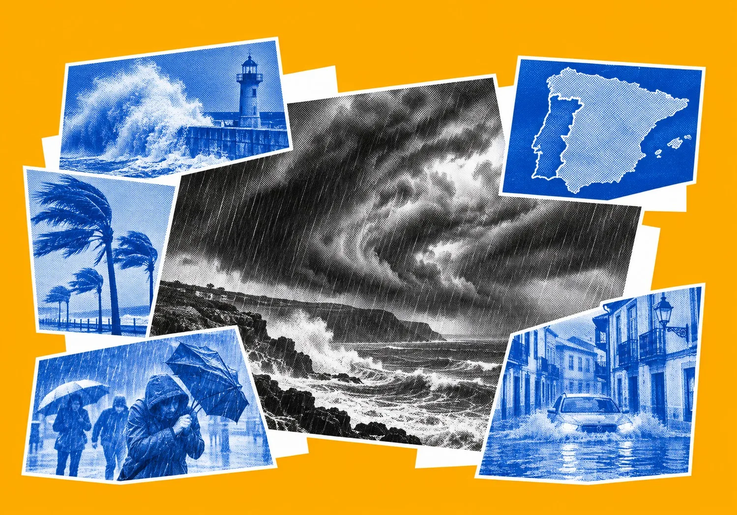
Portugal has declared a state of alert across its mainland and ordered schools and non-essential public services to close on Wednesday, 11 November, as Storm Charles approaches with torrential rain and potentially destructive winds. In neighbouring Spain, authorities have ordered an entire town to evacuate over fears that a dam could fail following days of heavy rainfall.

Portugal's national weather agency has warned that wind gusts could exceed 150 km/h if an exceptionally powerful air current develops within the storm. Eight Portuguese districts face the highest-level weather warnings, while Spain has closed schools across Extremadura and is preparing for further flooding after Storm Bruna left rivers swollen and the ground saturated.
Portugal on Red Alert
Portugal's state of alert will remain in force across the mainland from midnight until 11.59pm on Wednesday. Schools, including private establishments, nurseries and pre-schools, will close alongside non-essential public services. Outdoor events have been suspended, and access to parks, wooded areas, riverbanks and vulnerable coastal locations will be restricted.
Interior Minister Luís Neves urged residents to stay at home wherever possible and asked employers to accommodate staff with childcare responsibilities.
“Tomorrow will be a particularly hard and difficult day,” Neves warned on Tuesday.
Police, firefighters, emergency medical teams and military personnel have been placed on heightened standby. The country's civil protection service has raised its operational readiness to the highest level.
Portugal's national meteorological agency, IPMA, has issued red wind warnings for eight districts. Faro, Setúbal and Beja will be under the highest alert level from 9am to 9pm on Wednesday. Évora, Santarém, Lisbon, Leiria and Portalegre will come under the same warning from midday until 9pm.
IPMA forecasts gusts of 100–120 km/h, potentially reaching 140 km/h in the most exposed areas. Meteorologists have also warned that winds could exceed 150 km/h if a phenomenon known as a sting jet develops within Storm Charles.
A sting jet is a narrow current of rapidly descending air capable of producing exceptionally powerful gusts over a relatively small area. Its formation is difficult to predict and can substantially increase the destructive potential of a storm.
The Portuguese government explicitly cited this possibility in its official state of alert declaration on 10 November, based on information supplied by IPMA. Winds above 150 km/h are therefore an officially recognised meteorological risk scenario rather than the general forecast for the country.
Authorities are preparing for falling trees, damaged buildings, flash flooding and interruptions to electricity and communications. Electricity transmission operator REN has activated its emergency response plan, while distribution companies have reinforced contingency arrangements.
Lisbon was already experiencing disruption on Tuesday. Firefighters recorded approximately 130 weather-related incidents between midnight and 6am, mostly involving flooding in homes and public spaces. Sections of the city's Segunda Circular road were temporarily closed after becoming inundated.
Further transport restrictions are planned for Wednesday. Lisbon's authorities have announced the closure of road tunnels, while speed limits on the 25 de Abril and Vasco da Gama bridges have been reduced to 60 km/h. Bridge closures remain possible if conditions deteriorate.
Intercity coach operator Rede Expressos has announced the suspension of services nationwide between 10am and midnight on Wednesday. Passengers using other transport services have been advised to monitor announcements for disruption.
Madeira is expected to experience severe weather earlier, from late Tuesday into Wednesday morning.
IPMA has issued red warnings for the island's mountains and southern coast. More than 100 mm of rain could fall within 12 hours, accompanied by gusts reaching 130 km/h at higher elevations. Waves of up to 4.5 metres are forecast along the southern coastline.
The island is still dealing with the aftermath of Storm Bruna, which caused flooding and widespread flight cancellations over the weekend. Ten people were left displaced, while emergency services recorded hundreds of weather-related incidents.
Searches have also continued for a 37-year-old lifeguard who disappeared after apparently being swept into the sea near Funchal on Sunday. Portuguese maritime authorities deployed rescue teams and aircraft, although rough conditions complicated the operation.
Further heavy rainfall could trigger landslides and rapid flooding on Madeira's steep slopes. Residents have been advised to avoid exposed coastal areas and unnecessary journeys.
Spain Evacuates Town Over Dam Fears
In Spain, heavy rainfall associated with Storm Bruna has already created dangerous conditions ahead of Charles's arrival.
Civil protection authorities ordered the evacuation of Piedralaves, in the central province of Ávila, on Tuesday amid fears that the El Horcajo dam could overflow or suffer structural failure.
The town has approximately 2,200 inhabitants, according to Spanish news agency EFE. Residents received emergency alerts on their mobile phones directing them towards designated shelters, including the municipal sports hall and San Juan de la Cruz school.
The evacuation also affected 66 residents of a care home, who were transferred to facilities in nearby towns. No injuries had been reported when the order was announced.
The dam, built more than 30 years ago, stands approximately 1.5 kilometres above the town. José Francisco Hernández, the regional government's representative in Ávila, described its structure as obsolete and warned of a serious risk to residents.
Water was being released from the reservoir to reduce pressure, but engineers could not rule out structural failure. Debris washed into the water from hillsides damaged by summer wildfires added to concerns about the dam's condition.
Prime Minister Pedro Sánchez urged residents to follow civil protection instructions, particularly in Piedralaves, where authorities feared the reservoir could overflow.
The town had previously been evacuated during the summer wildfires, which destroyed large areas of vegetation across central Spain.
Spain's State Meteorological Agency, AEMET, issued red rainfall warnings for southern Ávila and northern Cáceres in Extremadura.
Parts of the Central System mountain range were expected to receive 120–150 mm of rain within 12 hours on Tuesday. Across the full weather episode, rainfall accumulations could exceed 300 mm in some locations.
Several rivers and streams are already swollen, increasing the risk of flooding as further rain arrives. Officials are also monitoring slopes damaged by wildfires, where exposed soil and debris could be carried downhill during intense downpours.
Schools in northern Cáceres were closed on Tuesday because of the red weather warning. Authorities in Extremadura subsequently announced that all schools across the region would remain closed on Wednesday, 11 November, as the risk from heavy rain and strong winds increased.
The regional government has activated its civil protection plan, with officials warning that gusts could reach 100–120 km/h. The closure is intended to protect pupils and staff while reducing traffic during the most dangerous period.
In southern Ávila, 32 schools have also suspended classes, with school transport services cancelled. The restrictions are expected to continue on Wednesday.
Charles is forecast to bring further substantial rainfall to western, central and southern Spain, particularly mountainous areas.
More than 80 mm could fall in a day around north-western Andalusia, Sierra Nevada, Grazalema, Ronda and the Guadalhorce area. Additional heavy downpours are expected across the Central System, where the combined effects of the two storms present a particular flood risk.
AEMET also forecasts gusts of 100–120 km/h in Extremadura, western Andalusia and southern Castilla y León. The agency has warned that tornadoes or waterspouts could develop near the Gulf of Cádiz.
The Canary Islands are expected to experience strong winds and heavy showers. On La Palma, gusts could reach 130 km/h, with thunderstorms and intense rainfall possible as Charles approaches.
Storm's Next Move
Charles is the third named storm of the 2026–27 season, following Adam and Bruna.
IPMA describes it as a depression of subtropical origin that developed over the Atlantic at lower latitudes. Although Charles and Bruna are separate weather systems, their effects are arriving within days of each other.
Forecasts issued on Tuesday suggested that the centre of Charles could approach mainland Portugal between Sines, south of Lisbon, and Cabo Carvoeiro, farther north along the coast.
Its precise track remains uncertain. A change in direction could alter which areas experience the strongest winds and heaviest rainfall.
According to AEMET, Charles will draw warm, moisture-laden air towards the Iberian Peninsula from lower Atlantic latitudes. As that air rises over mountain ranges in western and southern Spain, it is expected to produce particularly intense rainfall.
Wednesday is forecast to bring the most severe conditions, with strong winds spreading across large parts of the peninsula from midday.
Coastal areas also face dangerous seas. Portuguese forecasters expect south-westerly waves of four to six metres south of Cabo Carvoeiro. Portugal's navy has warned that individual waves could reach ten metres during the most severe conditions.
In Spain, combined wave heights of five to six metres are forecast in the Gulf of Cádiz, with higher seas possible in exposed locations.
Portugal's civil protection service has advised residents to stay away from beaches and breakwaters and avoid walking or driving through floodwater. Households have also been urged to secure loose outdoor objects, clear drains and prepare for possible electricity cuts.
Charles is expected to move north-eastwards on Thursday, 12 November, bringing a gradual improvement across much of Portugal and Spain.
However, heavy showers could continue in Galicia, the Cantabrian region and parts of the northern mountains. Strong winds may persist overnight in exposed inland areas, with gusts exceeding 100 km/h possible in some mountain districts.
AEMET expects rainfall and wind intensity to decrease as Charles moves away, although the timing will depend on its final track. Meteorologists have warned that shifts in the storm's path could still alter the location of the strongest winds and heaviest rain.
Sources: Reuters, Euronews, Teneriffa News, AEMET, Portuguese Gouvernment