
A Year Before the Storm: Scientists Claim to Have Unlocked El Niño Forecasting

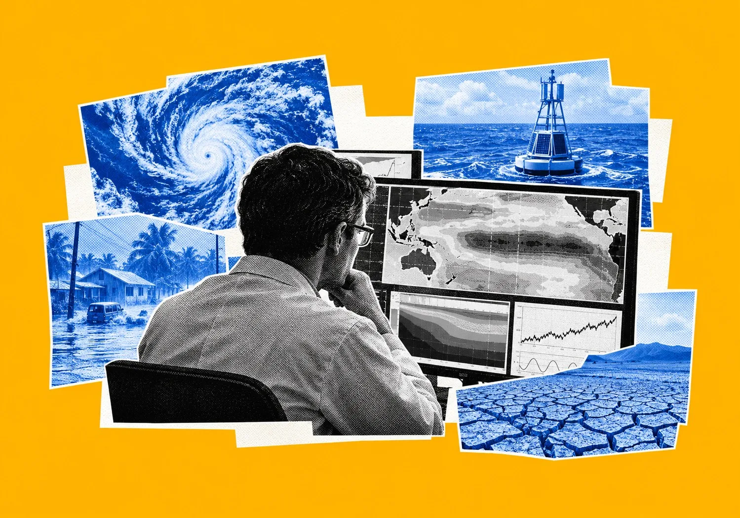
Scientists at Australia’s national science agency, alongside colleagues at the University of Melbourne, believe they have found the key to predicting El Niño and La Niña events up to a full year in advance. They claim to have unlocked a methodology that doubles the traditional six-month forecasting ceiling, giving policymakers and agricultural markets unprecedented lead times. The findings, published in Science Advances, challenge a long-standing assumption in climate science. By digging through more than 7,500 historical model runs from nine different countries, the research team argues that a forecast's reliability comes down entirely to what the ocean was doing on day one.
When a model starts running while the Pacific is locked in a La Niña phase, accuracy holds firm twelve months out. Start that exact same simulation during a neutral ocean phase, and the forecast falls apart into statistical garbage within two quarters.

To prove this, the researchers had to isolate why multi-season forecasting has always felt like rolling dice.
When La Niña is active, strong thermal gradients across the tropical Pacific act like physical guardrails.
They clamp down on the atmospheric equations, stopping the computer models from drifting off course over a year-long run. Neutral conditions, by contrast, offer no such anchor. Internal weather noise multiplies unchecked, corrupting the data long before the target date.
Co-author Dr. Mandy Freund, a researcher with the Australian Research Council Centre of Excellence for 21st Century Weather, highlighted the scale of this physical contrast.
“We’ve known for some time that the starting conditions affect how well model forecasts perform, but our study really shows how drastic those differences in performance can be,” Freund noted.
This is the hidden gear behind climate prediction.
Meteorologists are no longer squinting at raw probability sheets. By filtering out bad baselines, forecasting centers can finally separate real physical signals from computational ghost noise.
Global meteorological offices have yet to hardcode this fix into their daily supercomputer loops. Even so, the diagnostic is out. It gives risk analysts a practical tool for evaluating long-range weather projections.
Pacific Heat
The timing of this discovery could not be sharper. Geneva is sweating.
The World Meteorological Organization recently flagged the current El Niño cycle as an outlier in terms of pure kinetic energy.
Crucially, the worst is not behind us. The lag in global ocean-atmosphere coupling means the peak thermal, economic, and hydrological impacts will hit global infrastructure, agriculture, and power grids through late 2026 and deep into 2027.
Speaking in Geneva, WMO Secretary-General Celeste Saulo pointed to the severity of the active pattern.
“The current El Niño event could be unprecedented in strength,” Saulo warned. “This will have far-reaching consequences for weather patterns across the world.”
Down on the ground, the physical toll is already mounting across hemispheres.
Take Central America’s Dry Corridor. Stretching unbroken from southern Mexico down through Panama, this agricultural backbone is currently baking under prolonged heatwaves alongside crippled seasonal rains.
Reservoirs that feed municipal taps and hydroelectric turbines are dropping toward dead pool levels. Up in the canopy, forest ecosystems are drying out. Offshore, coral reefs are bleaching under thermal stress.
Across the Atlantic, Europe is bracing for its own severe chain reaction.

Mediterranean agriculture—from Spanish olive groves to Italian wheat belts—is staring down compounded drought conditions.
Shifting Atlantic jet streams threaten to volatilely alter seasonal precipitation, creating a dual crisis of prolonged dry spells in Southern Europe and abrupt, torrential rainstorms across Central Europe.
For European policymakers, this is no longer a distant tropical story; it translates directly to rising food inflation, energy grid instability, and strained water reserves across the continent.
Diplomats in Geneva are using polite language, but UN humanitarian chief Tom Fletcher dropped the diplomatic veneer entirely. He called the unfolding weather pattern a “wrecking ball” of extreme heat, drought, and flooding, warning that it carries “massive humanitarian consequences” for vulnerable populations.
This exposes the core flaw in modern civil defense. Waiting for an extreme weather event to manifest before mobilizing aid leaves governments reacting to disasters instead of preventing them.
Pushing the forecasting horizon from six months to twelve completely alters that bureaucratic timeline.
A six-month warning forces relief agencies into frantic, high-priced emergency procurement while crises are already boiling over.
A full year?
That buys municipal governments the runway they need to restructure water reserves, fix leaky infrastructure, and rewrite agricultural calendars before the peak hits in 2026 and 2027.
Buying Time
Managing the fallout of an El Niño cycle is less about stopping nature and more about administrative agility.
You cannot legislate away the El Niño–Southern Oscillation.
It is an unyielding planetary engine. No amount of engineering will stop thousands of miles of tropical ocean from sloshing heat back and forth across the equator. Institutional survival depends entirely on how fast bureaucrats can read the data and move the chess pieces.
As Davide Faranda, research director at France’s CNRS, points out, beating El Niño comes down to timing.
Water storage and farming schedules must lock in early.
Public water utilities get a massive tactical advantage with a twelve-month heads-up.
Instead of waiting for dry taps, authorities can scale back industrial drawdowns months ahead of time.
They can throttle municipal discharge rates and pump water down into depleted aquifers before regional droughts lock in. When the dry spell finally arrives, conservation is rolled out through quiet, phased adjustments rather than emergency panic rationing.
Farms undergo an equally ruthless pivot.
Commercial growers with a year of warning don't wait for fields to crack. Seed orders shift toward drought-resistant strains. Planting dates slide to match altered rainfall windows. Drip irrigation gets recalibrated to squeeze every drop of moisture past the root zone, while shade frames go up for livestock.
Global food agencies can pre-position grain reserves and medical supplies in high-risk zones quietly, dodging the port congestion and price gouging that always accompanies last-minute emergency drops.
The Warming Baseline
Nature’s old rhythms are no longer playing solo.
The Australian study lands squarely inside an era where natural ocean cycles are wrestling with the massive debt of industrial greenhouse gases.
A classic El Niño event acts like a planetary space heater.
It dumps colossal thermal energy from the tropical Pacific into the atmosphere, bumping global average surface temperatures by roughly 0.2 degrees Celsius. On its own, that spike is enough to scramble jet streams and ruin monsoons.
Stack that natural heat onto an atmosphere already choked with fossil-fuel emissions, however, and the math changes.
Look at 2025.
Modern records rank it as the third-warmest year in human history, matching thermal extremes hit during the monster El Niño of 2016.
The catch?
The year 2025 achieved that heat despite a cooling La Niña phase dragging down the Pacific. The background baseline has simply gotten too hot, setting the stage for what scientists fear will be unprecedented climate stress as the active El Niño reaches its peak over the next 12 to 18 months.
Faranda makes it clear: cutting emissions won't kill El Niño.
The cycle is too old for that. But aggressive climate mitigation is the only thing stopping background warming from turning normal weather swings into unmitigated disasters.
When a heavy-hitting El Niño climbs on top of an already overheated ocean baseline, weather patterns turn feral. Atmospheric rivers dump a year’s worth of rain onto baked clay in a single afternoon, triggering massive mudslides. Meanwhile, adjacent farming districts bake under relentless atmospheric thirst, turning topsoil to dust. In this volatile thermodynamic theater, a twelve-month predictive model isn't an academic luxury. It’s basic economic self-defense.
Winners and Losers
Shifting from six-month horizons to a full year changes the financial and political gravity across global markets.
National disaster agencies and city halls win big if they lean into the data.
Early warnings mean budget directors can lock in emergency credit lines before borrowing costs spike. Infrastructure vulnerabilities get patched quietly during the budget cycle rather than under the glare of disaster cameras.
Agribusinesses and supply-chain giants playing the commodities markets with a year of advance notice can hedge grain futures, swap fertilizer contracts, and protect margins before crop failures hit European and North American markets.
Modeling centers also benefit, getting a hard filter to throw out garbage data and hand policymakers a clean signal.
On the losing side?
Regions with weak civil infrastructure and hollowed-out local governments.
Having a brilliant scientific warning on a server in Canberra or Melbourne is useless if a municipal council lacks the cash or administrative teeth to dig a trench or move a village.
Legacy weather services are also sweating.
Public clients and private insurers are starting to demand baseline-weighted accuracy, leaving old-school short-term forecasters looking dangerously obsolete. Reinsurance markets are already moving, repricing catastrophe bonds and policy terms years out, making unhedged operations look like financial suicide.
Signal or Noise
Underneath the headlines, the Australian breakthrough speaks to a universal headache in modern data science: separating the signal from the digital static.
Supercomputers choke on data.
Satellites stream terabytes of ocean readings every second, and buoy networks flash continuous temperature updates. The hard part was never getting data. The hard part was knowing which numbers to trust.
By running their forensic audit on 7,500 historical model projections, Dr. Nandini Ramesh and Dr. Mandy Freund found the hidden dials.
When a model starts during La Niña, the Pacific Ocean speaks clearly.
The thermal gradients are sharp, clean, and physically distinct, forcing the computer algorithms to stay on the rails. The math holds together for twelve full months.
Start a model during a neutral phase, and the signal dissolves into white noise. Without clean thermal boundaries, tiny computational errors compound exponentially inside the code. Within months, the model is guessing.
Meteorologists now have a diagnostic tool to grade their own homework.
Instead of putting out vague seasonal forecasts wrapped in lawyerly caveats, forecasting hubs can stamp their outputs with real confidence ratings. When the ocean baseline is right, decision-makers can bet actual capital on the outcome a year in advance.
What Comes Next
Geneva is tracking the current Pacific anomalies with intense focus as timelines stretch toward 2027.
The science from Australia has set a new baseline for what is possible.
The real friction point now is not physics. It’s bureaucracy.
Can governments, water boards, and international relief funds adapt their operational habits to a twelve-month rhythm before the current cycle reaches its maximum impact? The methodology exists. The predictive window is open. The only question left is whether political systems can move fast enough to use the time they’ve been given.
Sources: ScinseAdvances, Euronews