
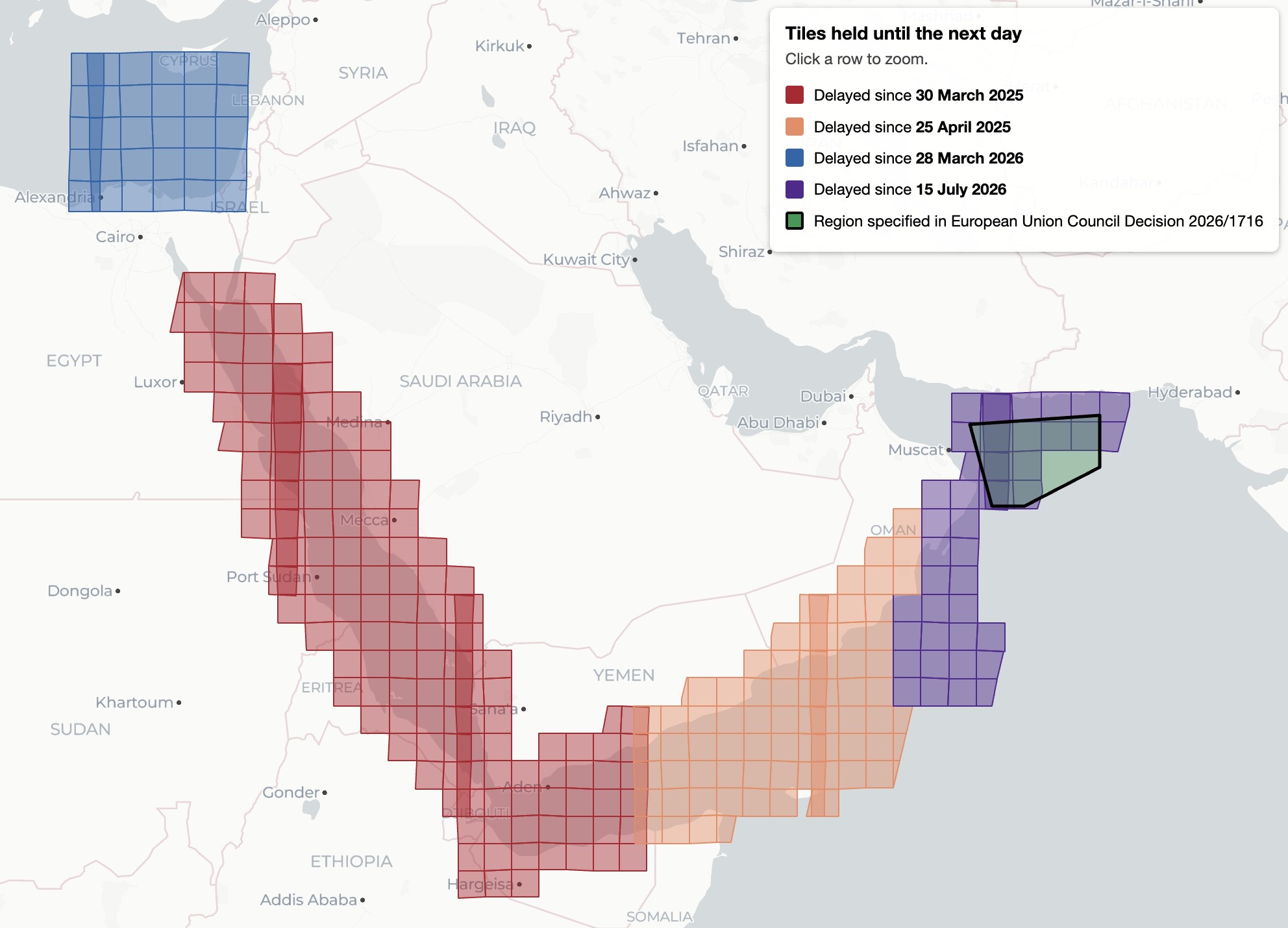
EU satellite imagery over Gaza delayed by 24 hours, Bellingcat finds
European Space Agency satellite data covering Gaza and parts of the West Bank is subject to a 24-hour publication delay, according to Bellingcat.
An investigation by open-source research collective Bellingcat has revealed that publicly accessible satellite imagery covering Gaza and portions of the West Bank is experiencing publication delays. Data captured by the European Space Agency's Sentinel-1 and Sentinel-2 satellites, which is typically available to the public shortly after capture, appears to be held back by approximately 24 hours over these specific areas. Although the delay is comparatively brief, Bellingcat's analysis highlights a targeted disruption in the regular flow of open-access Earth observation data for the region during ongoing conflict. The underlying cause for the timeline lag affecting these Palestinian territories has not been publicly clarified.
Sources: Bellingcat.