
Mont Blanc Grows Shorter: The ‘Roof of Europe’ Loses More Than Two Metres

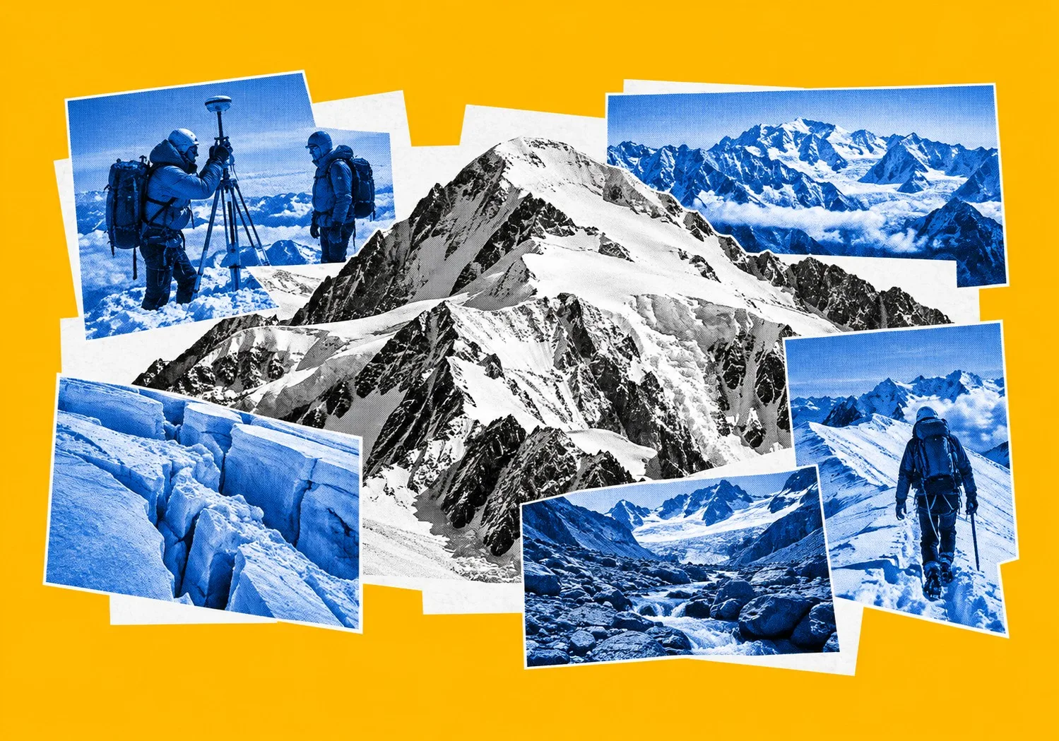
Western Europe’s highest summit continues a multi-year trend of reduced altitude. Standing at 4,807.47 metres above sea level following this autumn’s official survey, Mont Blanc remains on a downward trajectory, having lost more than three metres of elevation since 2007. Short-term weather dynamics can produce temporary surface changes, with winter snowfall adding nearly two metres above the bedrock line compared to 2023. However, glaciologists note that surface snow accumulation does not reflect overall ice volume across the European Alps, where ice mass is declining and affecting regional hydrology.
To evaluate changes on Mont Blanc, measurements distinguish between the summit snowpack and the underlying mountain structure.
The solid bedrock anchors at approximately 4,792 metres above sea level.
The mass above that threshold consists of a snow and ice cap reshaped by temperatures, seasonal precipitation, and high-altitude winds.
 When Jean des Garets, president of the Haute-Savoie departmental chamber of surveyors, presented the expedition's findings at a news conference in Saint-Gervais-les-Bains following the September survey, he noted that each individual measurement represents a snapshot of surface conditions rather than a structural gain in ice mass.
Leading a team from the Union Nationale des Géomètres-Experts and the Ordre des Géomètres-Experts across the summit, des Garets used satellite GPS receivers and drone photogrammetry to record surface elevation.
“For the moment, climate change doesn’t seem to have the same impact above 4,000 metres,” des Garets observed regarding the extreme summit zone, while emphasizing that the situation on lower access routes is radically different. “We’ve seen that the glacier has moved up. It has literally melted before our very eyes, and now in some places we’re crossing a stream instead of a glacier.”
Short-term elevation changes do not indicate net ice growth.
Glaciologist Luc Moreau, who participated in analyzing the survey data, cautioned against drawing hasty conclusions about long-term climate dynamics from top-level snowpack figures alone.
“Mont Blanc’s summit has not been significantly altered by climate change for the time being,” Moreau noted during the announcement, explaining that summit variations remain primarily driven by high-altitude precipitation and wind dynamics rather than immediate thermal melt.
The Snow Barrier Breaks
In Switzerland, scientific monitoring documents a parallel reduction in glacial coverage.
By the final week of June 2026, the seasonal snowpack accumulated across Swiss glaciers during the previous winter had completely melted.
Reached roughly two months earlier than the historical mid-August average, this threshold—referred to by glaciologists as glacier loss day—exposed underlying ice to summer radiation for the remainder of the season. In the observational record, this tipping point arrived earlier only once, during June 2022.
The early arrival of glacier loss day followed a combination of meteorological factors.
Winter snow accumulation left glaciers twenty-five per cent below the decade baseline by early spring.
In March, atmospheric deposits of Saharan dust settled on the Alpine snowpack, darkening the surface and lowering its reflectivity. When successive heatwaves occurred in May and June, the remaining snow cover melted, exposing the underlying glacial ice.
At the Rhône Glacier, Matthias Huss of ETH Zurich and Glacier Monitoring in Switzerland recorded one metre of vertical ice loss within a ten-day period in late June.

Huss highlighted the extraordinary pace at which high-altitude snow barriers are currently dissolving across Central Europe. “We’re just seeing enormous ablation, ice melt rates and snow melt rates all over the Alps,” Huss stated, noting that seasonal conditions had deteriorated far ahead of schedule. “We are three months too early compared to a healthy state.”
Data compiled by European scientific institutions document sustained volume loss across the region.
Switzerland lost twenty per cent of its remaining total glacier volume between 2021 and 2026, including a single-year loss of five point five per cent recorded between 2025 and 2026.
Over a longer timeframe, Swiss glacier volume decreased by thirty-eight per cent between 2000 and 2024. Of the approximately two thousand five hundred glaciers documented in Switzerland fifty years ago, roughly twelve hundred small ice bodies have melted completely.
In Slovenia, this reduction process has led to the structural breakdown of peripheral glaciers.
The Triglav glacier, monitored continuously since 1946 when it covered fourteen hectares, ceased active internal flow this year. Following low winter accumulation and summer high temperatures, the remaining ice mass separated into static patches.

Miha Pavšek, a researcher at the Anton Melik Geographical Institute who has tracked the site for three decades, confirmed the irreversible decline of Slovenia's last remaining glacial body. “Everything indicates that the very last remnants of ice will literally disappear within these coming days,” Pavšek explained, noting that three decades of continuous fieldwork at the location were drawing to a close. “Even a sheltered, shaded location could no longer save the remnants of these true glaciers.”
Downstream Shockwaves
The reduction of Alpine ice affects regional infrastructure and water resources.
Alpine glaciers act as natural water storage systems, receiving winter precipitation and releasing meltwater into major river basins—including the Rhine, Rhone, Drava, and Mura—during late summer months. As glacial volume decreases, these river systems shift from meltwater-buffered flow regimes toward variable, rain-fed basins with higher seasonal discharge fluctuations.
Downstream agricultural and industrial sectors are adjusting to changing river levels.
Lower discharge from eastern Alpine sources reduces flow rates in the Drava and Mura river systems, which supply agricultural irrigation networks across the Drava and Ptuj fields in Slovenia.
In several agricultural regions, lower river intakes during summer months require operational pumping adjustments or water allocation limits.
Industrial and energy operations are similarly sensitive to reduced summer river discharge.
European thermal and nuclear power plants rely on river water for cooling circuits. Under environmental regulations, plant operators must reduce generation when river levels drop or when surface water temperatures exceed regulatory limits to prevent thermal pollution in river ecosystems. During extended summer heatwaves, low flow rates can require temporary generation reductions.
Hydroelectric generation is also affected.
Run-of-river hydroelectric facilities experience reduced output capacity when late-summer streamflows decline. While storage-head plants with high-altitude reservoirs retain operational flexibility, lower winter snowpacks reduce the total seasonal water volume available to refill storage basins.
Additionally, commercial navigation along inland freight routes like the Rhine experiences draft restrictions during low-water periods, reducing barge cargo capacity and increasing regional transport costs.
The biennial surveying of Mont Blanc relies on geodetic methods to record high-altitude topographical changes.
Surveyors from the French professional chambers utilize global navigation satellite systems combined with real-time kinematic positioning to map the summit snow dome. Because the summit lacks a fixed physical surface, measurements are cross-referenced against permanent bedrock benchmarks established at lower elevations.
Automated drone sweeps carrying photogrammetric sensors generate digital elevation models that track volumetric changes across the summit snowcap.
Distinguishing between surface elevation and total structural ice mass remains central to analyzing these survey results. High-altitude snow domes expand or contract in response to immediate atmospheric conditions.
Heavy localized snowfall with light winds can temporarily raise the measured summit height without indicating a net gain in ice mass. Conversely, high winds can strip surface snow through mechanical deflation, reducing the summit elevation without thermal melting.
For this reason, geodetic measurements above four thousand metres are analyzed separately from mass-balance studies on valley glaciers, where vertical ice loss is measured directly using stakes installed in the ablation zone.
While the summit cap of Mont Blanc experiences short-term height variations, lower-elevation glaciers across the region show consistent mass reductions.
Re-engineering the Alps
In response to changing ice volumes, regional authorities across France, Switzerland, Italy, Austria, and Slovenia are adjusting spatial planning frameworks and water management infrastructure.
Adaptation programs are moving away from reliance on seasonal ice storage toward constructing retention reservoirs designed to capture winter rainfall and spring runoff. In agricultural sectors, public authorities are investing in closed-pipe distribution networks and soil-moisture monitoring to increase water-use efficiency.
Concurrently, glacial retreat and permafrost thawing are exposing unstable rock faces and moraine deposits across high-altitude areas. Regional municipalities are expanding monitoring networks for rockfalls, debris flows, and glacial lake outburst floods. Infrastructure at high elevations—including cable car stations, avalanche barriers, and mountain shelters anchored in frozen ground—requires ongoing structural reinforcement as permafrost conditions thaw.
Scientific data collected across the Alps in 2026 indicate a sustained reduction in overall ice mass.
Glaciological projections suggest that if current climate trends continue, Alpine ice volumes will decrease significantly by the end of the century.
The transition from glacial storage to variable, rain-fed hydrological regimes represents an ongoing operational challenge, requiring long-term adaptation across European water management, energy, and agricultural systems.
Sources: France24, Reuters, The Guardian